Modernizing Airport Terminal Navigation: Enhancing Passenger Experience and Driving Non-Aeronautical Revenue
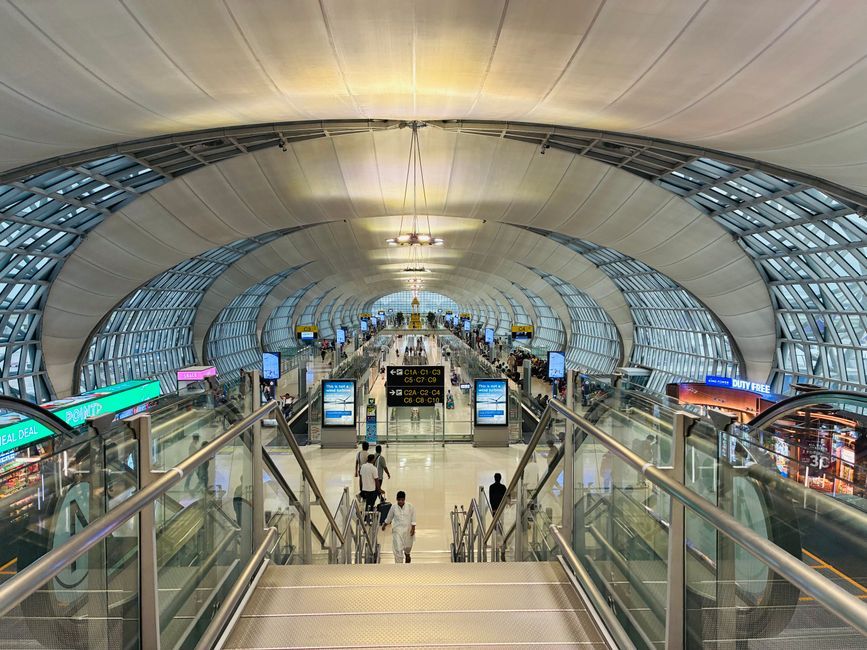
Airports across the globe are undergoing a massive transformation. As international passenger traffic expands and multi-terminal mega-hubs redefine aviation architecture, navigating airport terminals has become increasingly complex for travelers. Traditional static signboards and static overhead directories are no longer sufficient to manage modern passenger expectations or resolve transit friction. Today’s travelers demand seamless, personalized, and real-time guidance directly on their mobile devices. By modernizing indoor navigation through dynamic spatial technologies, progressive airport operators can solve core operational bottlenecks while unlocking untapped financial potential. Upgrading wayfinding infrastructure transitions transit hubs from stress-inducing mazes into high-performing commercial ecosystems, simultaneously lowering traveler anxiety and maximizing non-aeronautical revenue generation across retail, dining, and duty-free venues.
The Evolution of Airport Indoor Wayfinding: From Static Signage to Dynamic Digital Twins
Modern airport indoor wayfinding has transitioned from static, overhead signage to dynamic digital twins by integrating real-time spatial data, BLE/UWB positioning, and interactive mobile interfaces to manage complex passenger flows adaptively. This technological shift enables facility managers to orchestrate foot traffic dynamically while empowering passengers with self-service navigation tools.

Limitations of Legacy Signage in Complex Multi-Terminal Environments
For decades, static physical directional signage served as the primary guide for terminal navigation. However, modern airport layouts—characterized by multi-level concourses, inter-terminal transit shuttles, and security checkpoints—render fixed signs inherently rigid and inadequate.
Static signs cannot adjust to last-minute gate reassignments, temporary concourse closures, or fluctuating security lane wait times. When flight schedules shift dynamically, static signage fails to update passenger expectations, leading to congestion, missed connections, and heightened traveler confusion. Furthermore, multilingual travelers often struggle with localized terminology, creating avoidable friction points at critical decision junctions.
The Next-Gen Navigation Stack: BLE, UWB, and AR Blue-Dot Positioning
To replace rigid legacy signposts, modern airports deploy advanced Indoor Positioning Systems (IPS). By layering technologies such as Bluetooth Low Energy (BLE) beacons and Ultra-Wideband (UWB), airports achieve sub-meter indoor positioning accuracy on consumer smartphones.
This spatial infrastructure enables interactive "Blue-Dot" navigation—the indoor equivalent of outdoor GPS. Enhanced by Augmented Reality (AR) overlays, travelers simply hold up their phones to view digital arrows superimposed onto their real-world environment. AR blue-dot guidance simplifies complex multi-floor transitions, guiding passengers effortlessly through escalators, elevators, and automated people movers (APMs).
Digital Twins: Utilizing Real-Time Spatial Data for Adaptive Passenger Flow
Building upon IPS, leading hubs leverage spatial computing to construct a full Airport Digital Twin. A digital twin acts as a real-time 3D virtual replica of the physical terminal environment, continuously ingesting data from IoT sensors, Wi-Fi access points, and security queue monitoring systems.
By merging location services with predictive analytics, digital twins allow Airport Operational Control Centers (AOCC) to monitor crowd density and dynamically reroute passenger flows. If Concourse B experiences security bottlenecks, the digital navigation system can automatically reroute non-urgent passengers along alternative concourses, optimizing overall terminal throughput and balancing facility utilization.
Alleviating Traveler Anxiety to Maximize High-Value Dwell Time
Minimizing transit friction and uncertainty through real-time navigation and queue updates directly alleviates passenger gate anxiety, effectively unlocking high-value "golden hour" dwell time that can be redirected toward terminal retail and dining experiences. Removing uncertainty transforms reactive rushed travelers into relaxed, highly engaged consumers.
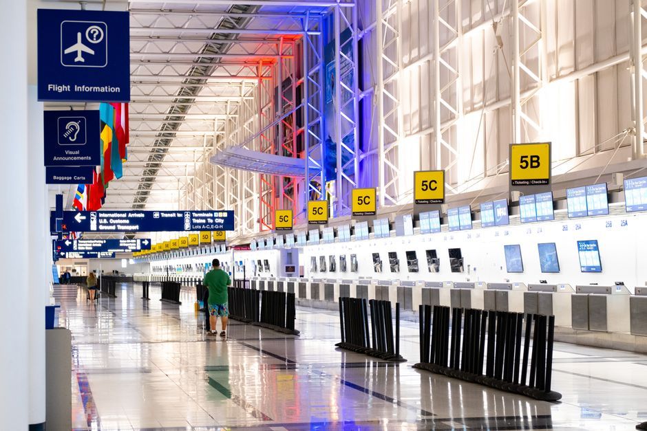
Deconstructing Gate Stress: Security Wait Times, Gate Changes, and Transit Friction
Traveler stress peaks between initial airport arrival and passing through security control. Psychologically, passengers operate in a state of high vigilance—commonly referred to as "gate-seeking behavior"—until they physically locate their departure gate.
Key drivers of airport anxiety include:
- Unpredictable Security Lines: Uncertainty regarding TSA or border control processing speeds.
- Abrupt Gate Changes: Sudden flight updates announced over degraded public address systems.
- Wayfinding Ambiguity: Unclear walking distances between connecting flights across sprawling terminals.
This baseline anxiety forces travelers to head directly to their departure gate immediately after security, bypassing commercial concourses entirely.
Turn-by-Turn Mobile Guidance with Integrated Real-Time Flight and Security Updates
Modern navigation platforms address gate-seeking stress by integrating real-time operational feeds into personalized turn-by-turn mobile maps. By syncing with International Air Transport Association (IATA) data standards and Flight Information Display Systems (FIDS), navigation apps provide context-aware alerts alongside spatial directions.
A passenger receives precise walking-time estimates tailored to their walking pace, alongside real-time security queue times and instant push notifications for gate shifts. Knowing exactly how many minutes it takes to reach Gate B42 from any point in the terminal eliminates guessing games, restoring control to the traveler.
Unlocking the "Golden Hour": Converting Reduced Anxiety into Extended Terminal Dwell Time
In airport commercial strategy, the "Golden Hour" refers to the surplus time a passenger spends airside after completing security screening and before boarding begins. Every minute added to a relaxed passenger's golden hour directly correlates with increased concession spending.
When travelers feel confident in their spatial orientation and boarding timelines, their cognitive load drops. Restored mental bandwidth converts anxious passengers into active consumers who explore lounges, specialty retail boutiques, and sit-down dining venues, driving substantial uplift in airport non-aeronautical yield per passenger.
Boosting Concession Visibility: Turning Wayfinding into a Monetization Engine
Digital wayfinding platforms convert indoor spatial positioning into a monetization engine by delivering geofenced contextual promotions, dynamic directory listings, and targeted route recommendations that drive footfall to under-indexed retail and food venues. Indoor navigation bridges the gap between terminal operations and commercial revenue strategy.

Contextual Retail Discovery: Geofenced Offers and Location-Based Notifications
Combining indoor positioning with proximity-based geofencing allows airport operators and concessionaires to deliver hyper-relevant, contextual promotions directly to opt-in passenger smartphones.
As a traveler walks past a retail zone, the navigation app can trigger targeted notifications based on dwell time, flight class, or destination weather:
- Time-Sensitive Discounts: "Your flight boards in 45 minutes. Enjoy 15% off coffee at Vendor X, 2 minutes along your walk."
- Personalized Retail Suggestions: Promoting luxury duty-free items to long-haul international passengers during extended layovers.
These micro-moments turn passive path-finding into proactive commercial discovery without disrupting the core navigation experience.
Optimizing Retail Footfall with Indoor Heatmapping and Spatial Analytics
Digital indoor navigation solutions capture anonymized spatial analytics that reveal footfall patterns, transit velocity, and dead zones within concourses.
| Spatial Metric | Operational Insight | Commercial Application |
|---|---|---|
| Dwell Density Heatmaps | Identifies where passengers congregate naturally | Optimizes pop-up kiosk placement and premium ad pricing |
| Path Capture Rates | Measures percentage of traffic passing specific stores | Adjusts tenant lease rates based on verified exposure |
| Bounce Rates | Tracks passengers leaving concessions quickly | Informs storefront design and layout optimization |
Airport commercial teams use these data-driven insights to optimize tenant mix, reconfigure lease structures, and optimize floor plans for maximum financial capture.
Dynamic Digital Directories: Driving Traffic to Low-Visibility Dining and Concession Venues
A persistent challenge in terminal design is the uneven distribution of footfall. Concessions situated in secondary piers or upper mezzanine levels often suffer from poor visual exposure compared to central atrium locations.
Dynamic digital directories and interactive mobile maps solve this visibility imbalance. Search queries for "gluten-free dining" or "quiet workspace" can highlight hidden venues and generate step-by-step turn-by-turn routes directly to off-the-beaten-path merchants. By democratizing access to hidden concessions, airports maximize revenue across the entire vendor ecosystem.
Technical Architecture: Modernizing Navigation Without Disruptive Terminal Retrofits
Modern indoor navigation architectures achieve rapid, low-friction deployment by overlaying hybrid positioning software—combining existing Wi-Fi access points, BLE beacons, and smartphone sensors—with open APIs that sync directly to airline apps and Airport Operational Control Centers (AOCC). This modular approach eliminates the need for expensive structural renovations or costly terminal downtime.

Hybrid Indoor Positioning Systems: Leveraging Existing Wi-Fi, BLE Beacons, and Sensor Infrastructure
Deploying enterprise indoor wayfinding does not require rewiring legacy facility infrastructure. Modern solutions utilize a hybrid positioning stack that combines multiple data inputs:
- Existing Wi-Fi Infrastructure: Utilizes Wi-Fi Fine Timing Measurement (IEEE 802.11mc standard) and RSSI triangulation for general terminal-wide location awareness.
- Low-Power BLE Beacons: Battery-operated or harvest-powered beacons placed discreetly along corridors provide pinpoint accuracy.
- Sensor Fusion & Dead Reckoning: Leverages onboard smartphone sensors (accelerometers, gyroscopes, magnetometers) to maintain continuous tracking even in signal-shadowed corridors.
This layered software-driven model minimizes hardware capital expenditure while guaranteeing robust performance across vast physical spaces.
Open API Integration: Connecting Spatial Platforms with Airline Apps and Airport Operating Systems
For maximum adoption, indoor navigation platforms must not exist as standalone, siloed mobile apps. Instead, modern spatial architecture relies on open RESTful APIs and SDKs that seamlessly embed indoor maps into existing digital channels.
       +-------------------------------------------------------+
       |         Airport Operational Control Center (AOCC)     |
       +---------------------------+---------------------------+
                                   | Real-Time Data Streams
                                   v
+----------------------------------+----------------------------------+
|              Central Spatial Navigation Engine (APIs/SDKs)          |
+-----------------+---------------------------------+-----------------+
                  |                                 |
                  v                                 v
+-----------------+-----------------+     +---------+-----------------+
|     Native Airline Mobile Apps    |     |  Airport Web & Web-App    |
| (Delta, United, Lufthansa, etc.)  |     |   Interactive Touch Kiosks  |
+-----------------------------------+     +---------------------------+
By providing SDKs to partner airlines, airports can embed terminal maps directly into native airline applications. A traveler checking their boarding pass in an airline app can launch turn-by-turn gate directions without downloading a separate airport application.
Low-Friction Deployment and Scalable Map Maintenance Models
Airport layouts are dynamic—concessions rebrand, gates undergo maintenance, and security checkpoints expand. Maintaining static CAD drawings or manual vector maps across multiple digital platforms quickly becomes unsustainable.
Modern spatial platforms leverage cloud-managed Spatial Content Management Systems (CMS) with automated CAD/BIM file converters. When terminal layouts shift, facility teams upload updated architectural files (such as Revit or AutoCAD formats), automatically updating digital maps across web, mobile, kiosks, and airline partner apps simultaneously.
Strategic ROI Framework: Measuring Operational and Financial Impact
Airport operators quantify wayfinding ROI by tracking core metrics such as passenger adoption rates, dwell time expansion, and concession Average Order Value (AOV), proving that digital spatial upgrades yield measurable non-aeronautical revenue lift alongside operational efficiency. Investing in smart spatial infrastructure yields compound returns across both commercial performance and facility throughput.

Essential KPIs: Passenger Dwell Time, Retail Average Order Value (AOV), and Wayfinding Adoption Rates
Evaluating the success of a modern navigation initiative requires a balanced scorecard spanning operational and financial metrics:
- Wayfinding Adoption & Engagement Rate: The percentage of departing and connecting passengers actively launching indoor maps via mobile web, native apps, or digital kiosks.
- Airside Dwell Time Expansion: Net change in uncommitted passenger time spent in commercial zones post-security.
- Concession Average Order Value (AOV): Growth in spend per transaction at dining and retail outlets attributed to location-based promotions.
- On-Time Departure Performance: Reduction in delayed boarding events caused by lost or misdirected passengers.
Financial Modeling: Quantifying Non-Aeronautical Revenue Lift vs. Infrastructure Investment
According to industry benchmarks from the Airports Council International (ACI World) Airport Economics Report, non-aeronautical revenues account for up to 40% of total airport income globally. A modest increase in commercial spend per passenger yields significant bottom-line impact.
Consider a hypothetical financial model for a mid-sized hub processing 15 million passengers annually:
- Baseline Dwell Shift: Increasing airside dwell time by just 8 minutes per passenger through anxiety reduction.
- Spend Conversion: Generating an estimated $1.20 to $2.50 incremental spend per passenger across food, beverage, and retail concessions.
- Annual Lift: Results in $18M - $37.5M in additional non-aeronautical gross revenue, comfortably amortizing cloud software and beacon deployment costs within the first year of operation.
Future-Proofing Airport Infrastructure: Autonomous Assistive Mobility and Spatial Computing Readiness
Beyond immediate financial returns, deploying a robust spatial data engine lays the groundwork for next-generation airport technology initiatives:
- Autonomous Assistive Mobility: Spatial maps power self-driving electric wheelchairs, enabling mobility-impaired passengers to navigate autonomously from check-in to gate.
- Robotic Facility Maintenance: Automated floor scrubbers and delivery robots utilize the indoor spatial graph for obstacle avoidance and route planning.
- Spatial Computing & Wearables: Prepares airport infrastructure for head-mounted AR devices and smart glasses, positioning the terminal for the future of ambient computing navigation.
Conclusion: Transforming Terminal Navigation into a Competitive Advantage
Modernizing airport terminal navigation represents far more than an incremental IT upgrade—it is a strategic transformation that bridges passenger satisfaction, operational throughput, and commercial monetization. By moving away from static, rigid physical signage toward dynamic, context-aware indoor positioning systems, airports can effectively dismantle traveler anxiety and reclaim the valuable airside "Golden Hour."
As airports continue to evolve into smart micro-cities, operators who prioritize open spatial architectures, hybrid positioning infrastructure, and real-time passenger engagement will lead the industry. Enhancing spatial visibility elevates the passenger journey from a stressful necessity into a delightful travel experience, turning every concourse corridor into an engine for sustainable non-aeronautical revenue growth.
Bilal Mehmood
Co-founder
Bilal Mehmood is a TkTurners co-founder focused on AI automation, systems integration, and practical operational infrastructure for growing businesses.
Relevant service
Review the Integration Foundation Sprint
Explore the service lane